
Greg Miller/Dec 19, 2016
From the craters of Mars to the streets of Zurich, these maps show cartography at its best.


This map comes from that traced the route of two men who attempted to hike the length of the Grand Canyon in 2015—an 800-mile trek completed by fewer than two dozen people. Cartographer Charles Preppernau led a team that created a 3D digital rendering of the canyon.Then, they meticulously adjusted the lighting and color to maximize the sense of depth. Even the simulated snow (seen above) was carefully added in places where real snow would accumulate. “We really wanted to showcase the terrain of the canyon,” Preppernau says.
Map by Charles Preppernau, National Geographic


The Swiss national mapping agency, swisstopo, is renowned for maps that make the country’s mountainous terrain pop off the page. This year the agency has been , making its renderings of the entire country—including cities like Zurich, above—easier to read and more striking than ever.


The screenshot above comes from an —created by three students at the University of Wisconsin, Madison—that explores the maritime world of the colonial era. The students compiled historical records of sea travel from 1750 to 1850, then created an interface that lets users select a colonial power—British, French, Dutch or Spanish—and see where their ships roamed. Users can also examine wind patterns, weather reports, and notes from the captains’ logs.
Map by , , and

GPS and other technological advances are allowing scientists to track wild animals in more detail than ever before. Geographer James Cheshire and designer Oliver Uberti of animal tracking data for their book, Where the Animals Go, published this year. The map above charts the wanderings of a single elephant seal in the Southern Ocean.

Map by Mapping Inequality
It’s been a good year for map lovers. Whether you’re into old maps, new maps, or new ways of interacting with old maps, there was much to cheer about in 2016.
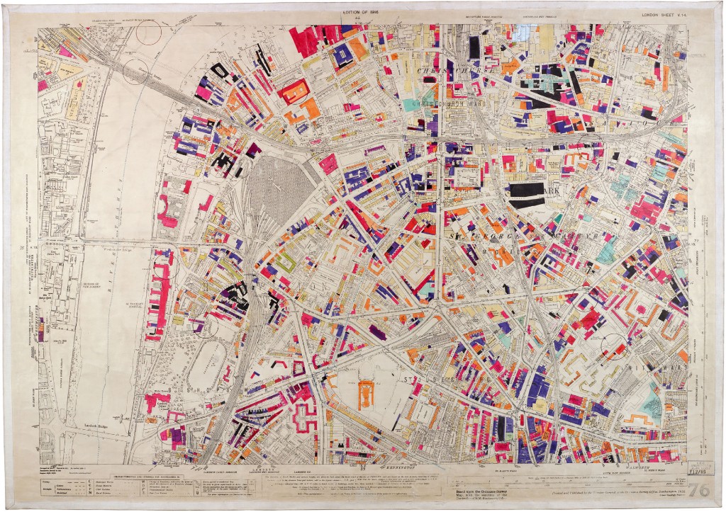
Lots of great historical maps became more accessible this year. One of the world’s great private map collections is now open to the public at Stanford University. The Central Intelligence Agency, which isn’t exactly known for sharing, released a slew of historical maps to celebrate the 75th anniversary of its Cartography Center. Here at All Over the Map, we were excited to publish a few maps that haven’t been readily available online, including secret Japanese military maps and a map used in 1783 at the Treaty of Paris to negotiate the borders of the brand-new United States of America.
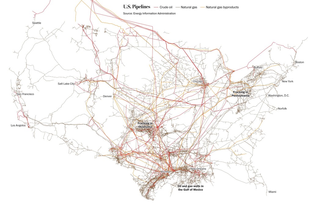
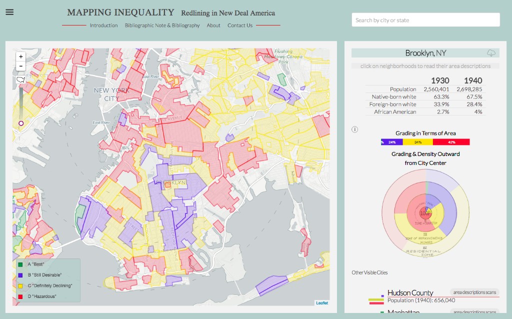
It’s nearly impossible to keep up with all the innovative and beautifully designed maps being made these days. And thanks to the proliferation of digital cartography tools, lots of non-cartographers are making maps now too. This year, scientists mapped the rise of “megaregions”—clusters of interconnected cities—and documented the increasingly fragmented areas of Earth that can’t be reached by road. Journalists got into the act too, making sophisticated and attractive maps to examine everything from the presidential election to the aerial surveillance of U.S. cities.
Cartography may be in the midst of a digital revolution, but if you think hand-drawn maps have no place in the modern world, consider the case of the tourist who, earlier this year, wanted to mail a card to a small family farm in Iceland but didn’t know the address. He drew a map on the envelope instead, and it still found its intended destination—proof, if you really needed it, of the power of maps.
No comments:
Post a Comment